Territorial Intelligence: Geospatial Solutions for Strategic Decision-Making
We work with public and private organisations on strategic land-use management and resource optimisation. We develop advanced solutions to address the challenges of land-use planning, climate action and the production of high-precision topographic and thematic maps.
ABOUT US
DNA: Research, Development and Business Innovation (R&D&I)
With over 15 years’ experience at the forefront of geographical science, our approach seamlessly combines in-depth technical and academic expertise in the fields of geospatial intelligence, Earth observation and geographic information systems (GIS). We are a spin-off officially recognised by NOVA University Lisbon (NOVA Spin-off®).
- Give us a call today
+351 962 755 210
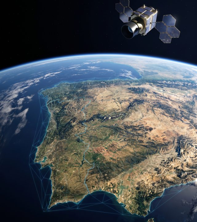
Strategic Partnerships and Technology Architecture
We are certified partners of Esri, which enables us to work with the most advanced GIS tools, but our focus is on putting processes into practice: combining these tools with robust methodologies for spatial analysis, environmental impact assessments and planning. We value innovation, sustainability and collaboration with universities, technology companies and public bodies.
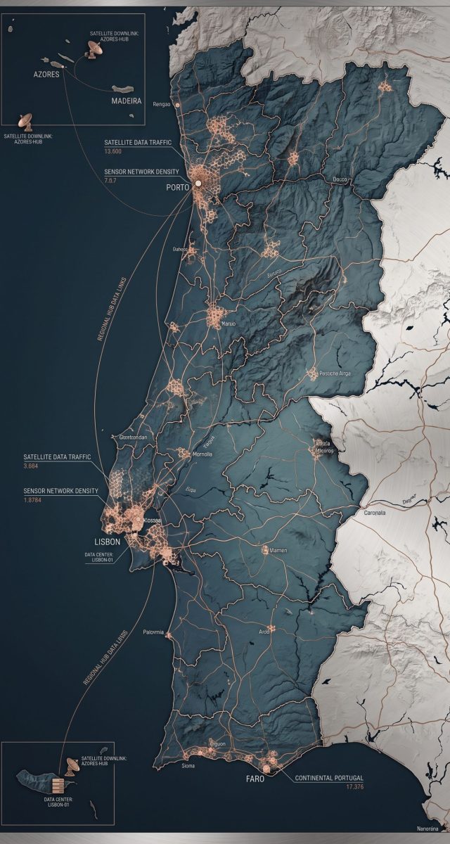
Service Ecosystem
An integrated approach that supports spatial planning, climate action and asset management through space science.
Municipal Planning and Management
Preparation and implementation of Spatial Planning, Status Reports and technical support for Municipal Master Plans.
Remote Sensing and Earth Observation
Multi-temporal analysis solutions based on satellite and drone imagery. Support for environmental monitoring, change detection and natural risk management.
Cartography and Topography
Production of vector maps, photogrammetric support and digital terrain modelling.
Climate Action and ESG
Development of Municipal Climate Action Plans and Municipal Carbon Inventories.
Environmental Management and Natural Resources
Support for the management of protected areas, environmental impact assessments and ecosystem monitoring. Integration of geospatial data to promote the sustainability of natural resources.
Geographic Information Systems
Development of personalized solutions and construction of complex geographical databases. Application of advanced spatial and multi-criteria analysis to optimise strategic processes and planning.
Validação por referências no setor
Os nossos clientes falam pela qualidade do nosso trabalho. Organizamos aqui o reconhecimento formal por parte de autarquias, empresas e parceiros académicos que validam a USEarth como referência técnica no setor da inteligência territorial em Portugal.


Territorial Innovation in Progress
We build spatial intelligence systems designed to support executive decision-making with the utmost rigour. We produce diagnostic reports, such as the State of Spatial Planning Report and the Municipal Climate Action Plan, which transform strategic planning into dynamic platforms for continuous monitoring. Our approach combines high-precision remote senting combinig satellite, aerial and drone imagery with geographic science. We transform spatial data into interactive dashboards that ensure efficiency in day-to-day management and deliver visible, sustainable results on the ground.
Development of an app for monitoring the golf courses at Amendoeira Golf Resort
MedSEVA European Project
Environmental Impact Assessment
Survey of Tree Species across 1000 hectares
Revision of the Redondo Municipal Development Plan
Surveying and Preparation of Cartographic Materials for Approval by the Directorate-General for Land (DGT)
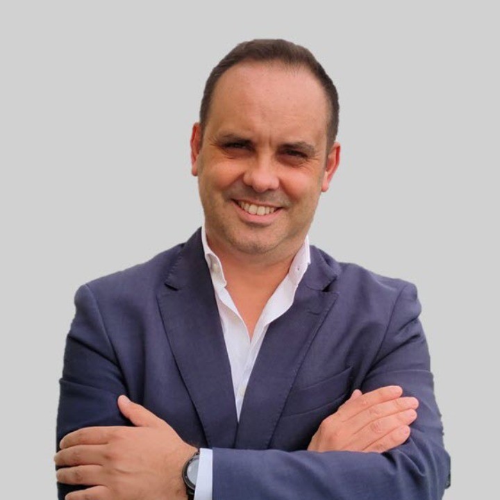
Team of experts
USEarth comprises a multidisciplinary team combining advanced qualifications at Master’s and PhD level, particularly in the fields of Environment and Natural Resources, and Remote Sensing and Geographic Information Systems, with over 15 years’ professional experience in projects relating to spatial planning, the environment, climate action and Earth observation. This combination of science, technology and applied expertise enables us to develop territorial intelligence solutions that transform complex data into useful knowledge for decision-making. Through an integrated approach, we support public and private organisations in the sustainable management of their territories, resources and infrastructure.